Point Cloud Processing & Registration Services
Transform Raw Scan Data into Accurate, Engineering- Ready Point Clouds
From registration and cleaning to optimisation and QA, WildplantTS deliver accurate, high-quality point clouds for engineering, BIM, CAD, Digital Twin, and industrial workflows.
Compatible with all Reality Capture systems. Trusted by clients worldwide.

Global Services
Clients Worldwide

1000+
Projects Delivered

All Major Scan System
Supported

Quality Controlled
Workflows
What is Point Cloud Processing?
Point Cloud Processing is the engineering workflow that converts raw scan data into clean, accurate, and usable point cloud datasets.
Raw scan data often contains:
- Multiple scan positions
- Misalignment
- Noise
- Duplicate points
- Temporary objects
- Incomplete registration
- Unclassified data
Our engineers process the data to create a single, optimized point cloud suitable for engineering applications.
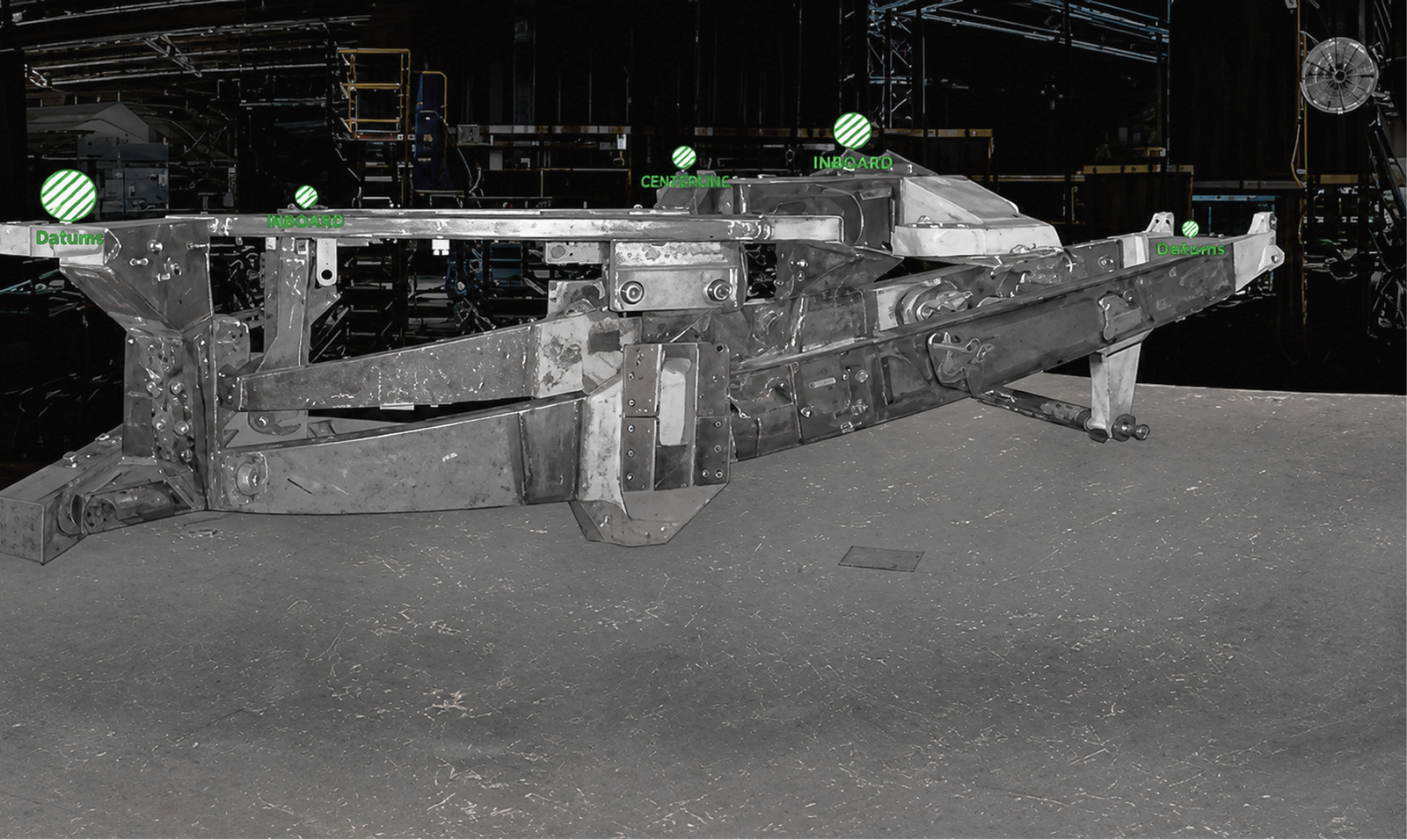

Registration Methods We use

Target-Based Registration
Using physical targets placed in the field for high accuracy.

Cloud-to-Cloud Registration
Aligning scans directly using overlapping point cloud data.

Hybrid Registration
Combining targets and cloud alignment for optimal results.

Control Point Registration
Using control points to achieve accurate alignment.

Survey Control Integration
Integrating survey data for engineering grade accuracy.

Geo-referenced Coordinate Systems
Delivering data in real-world, geo-referenced coordinate systems.
Global Point Cloud Processing Services
We provide remote point cloud processing services worldwide. Simply upload your scan data securely, and our engineering team will process it remotely and return engineering-ready point clouds


We support clients including



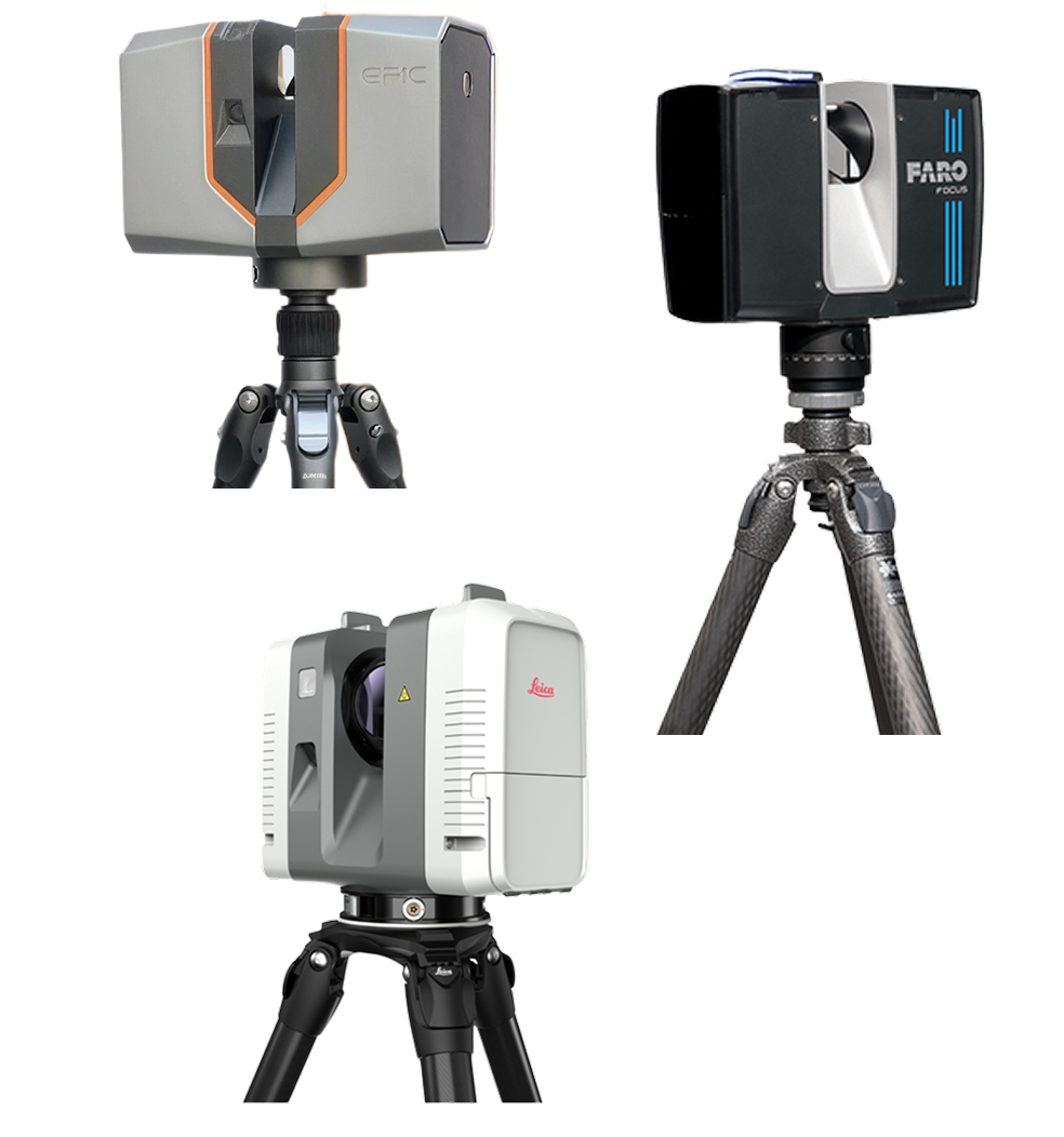
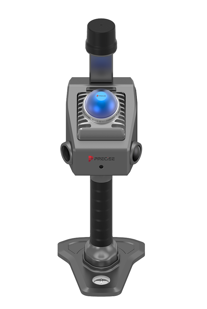
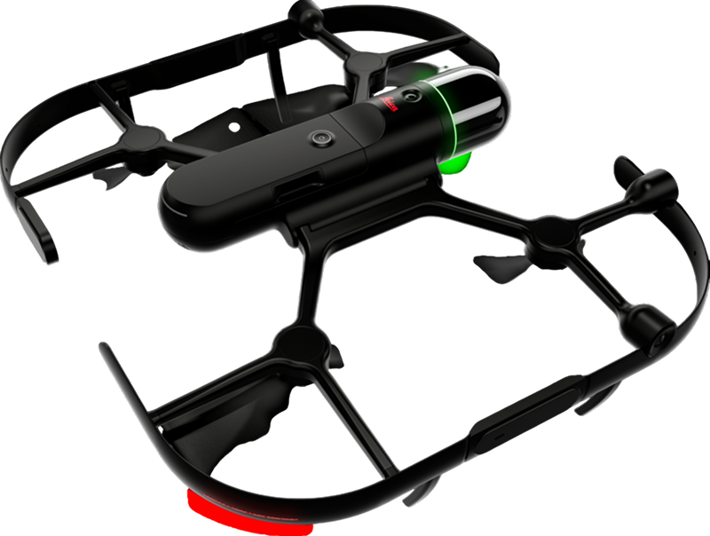
Supported Scan Sources
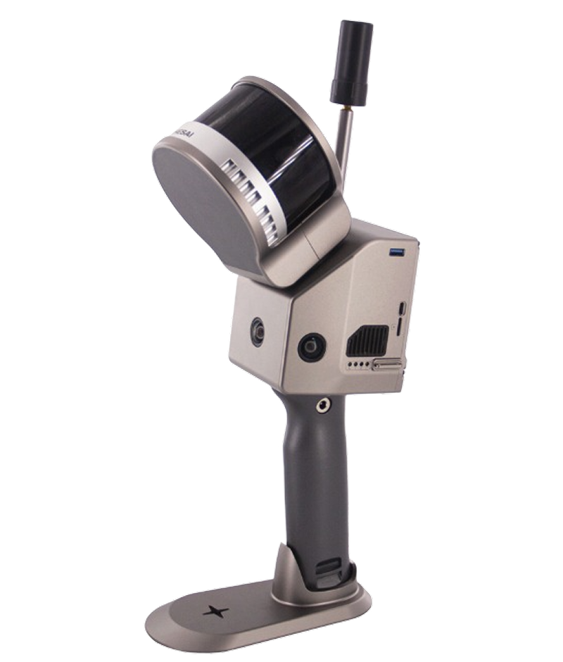
Comprehensive
Point Cloud
Processing For Every
Project Need
We transform raw scan data into accurate, clean, and engineering-ready point clouds for industrial, construction, and infrastructure projects.

Point Cloud
Registration
Accurately align multiple scans into a single unified point cloud.
Registration Methods
- Cloud-to-Cloud
- Target-Based
- Hybrid Registration
- Survey Control Registration
- Geo-referencing

Noise Removal
Remove unwanted scan artifacts that reduce data quality.
Includes
- Moving People
- Vehicles
- Temporary Objects
- Environmental Noise
- Random Scan Errors
- Outlier Points

Point Cloud
Cleaning
Prepare point clouds for engineering workflows.
Cleaning includes:
- Duplicate Point Removal
- Background Cleaning
- Object Isolation
- Region Selection
- Scan Trimming

Point Cloud
Optimization
Optimize large datasets while preserving engineering accuracy.
Benefits
- Faster Processing
- Reduced File Size
- Improved Performance
- Better Software Compatibility

Point Cloud
Segmentation
Separate different areas or systems within the point cloud.
Examples include:
- Buildings
- Equipment
- Piping
- Structural Steel
- Civil Infrastructure
- Electrical Systems
- HVAC
- Utilities

Point Cloud
Classification
Organize scan data into logical engineering categories.
Typical classifications include:
- Ground
- Buildings
- Vegetation
- Roads
- Bridges
- Utility Assets
- Structural Elements
- Mechanical Equipment

Output Formats
We deliver professionally processed point clouds in industry-standard formats.
Supported Output Formats
- E57
- LAS
- LAZ
- RCP
- RCS
- PTS
- XYZ
Additional formats can be provided upon request, depending on the source data and software compatibility.

What This
Service Does
NOT
Include
To avoid confusion, this service does not include:
- Mesh Generation
- STL Creation
- Mesh Editing
- Mesh Repair
- Mesh Optimization
- Reverse Engineering
- CAD Modelling
- Scan to CAD
- Scan to BIM
- Surface Modelling
- Polygon Mesh Processing
These services are available separately under our Engineering Services portfolio
Our Point Cloud Processing &
Registration Workflow
You share the scan data, we handle the rest.
Our expert Reality Capture team processes, registers, and delivers clean, engineer-ready point clouds for your projects.

Data Import
Receive raw scan data from any LIDAR, SLAM, drone, or 3D laser scanner.

Registration & Alignment
Align scans using the right alignment methods captured during scanning.

Cleaning & Filtering
Remove noise, unwanted objects, moving people, vehicles, & scan artefacts.

Optimisation &
Segmentation
Optimise the point cloud and divide it into logical areas as per requirements.

Classification
Classify data into engineering categories, layers, or disciplines.

Quality Check & Delivery
Perform comprehensive quality checks and deliver in your required format.
Benefits of Professional Point Cloud Processing
Accurate
Registration
Proper alignment of all scan positions.
Cleaner
Engineering
Data
Remove unnecessary objects and improve data quality.
Faster BIM &
CAD Modelling
Well-processed point clouds significantly reduce modelling time.
Smaller File Sizes
Optimized datasets improve software performance.
Better
Collaboration
Standardized point cloud formats simplify sharing across multidisciplinary teams.
Industries & Applications
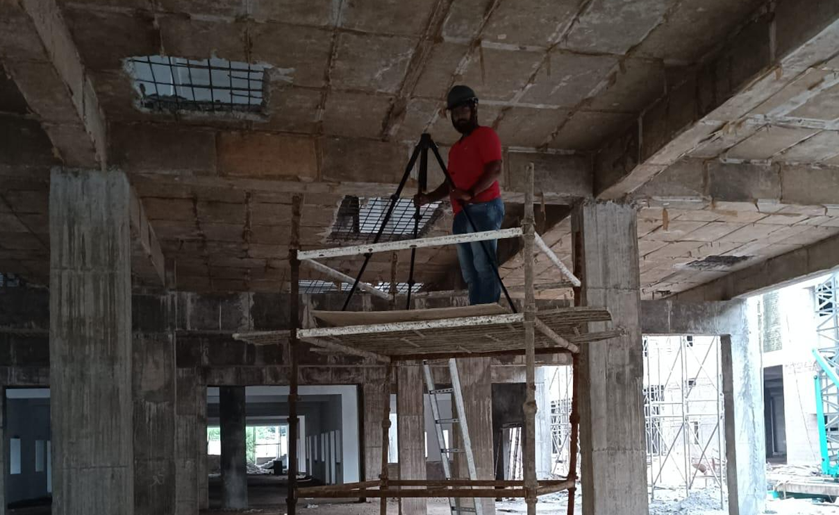
Construction & BIM
As-built documentation, clash detection, progress monitoring.

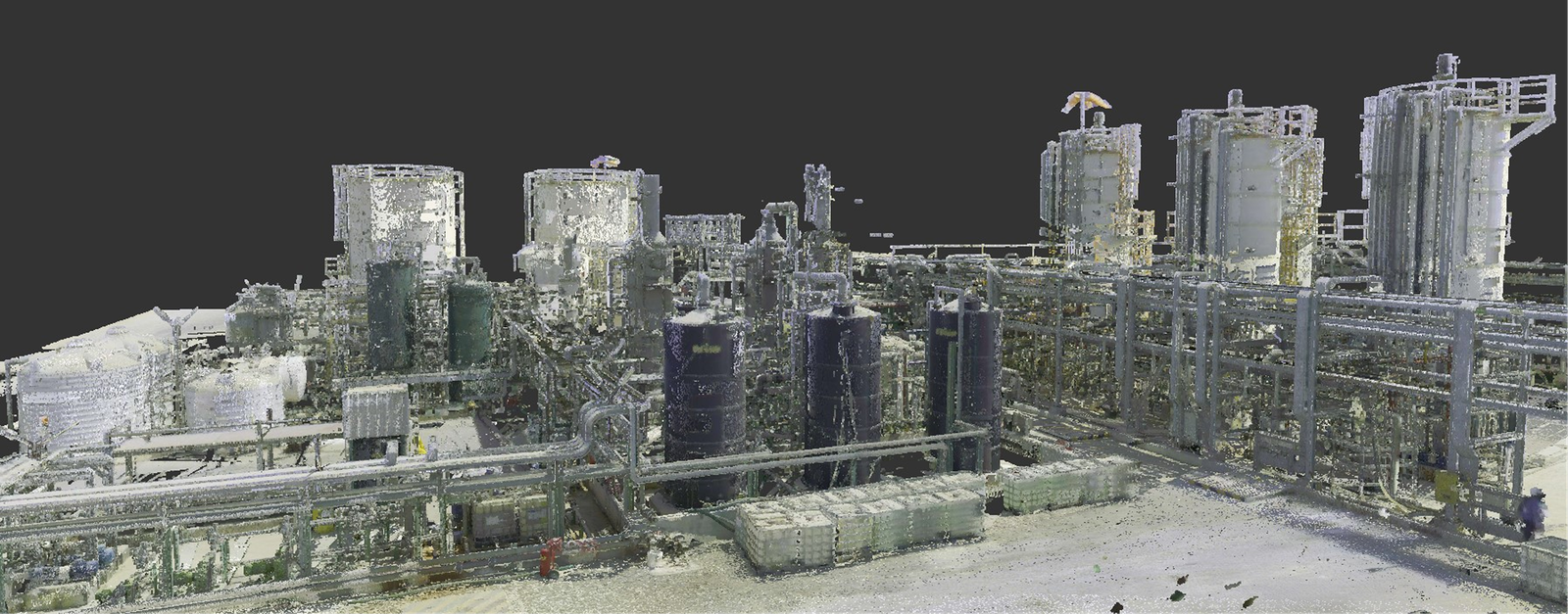
Oil & Gas Plants
Plant digitization, maintenance planning, shutdown projects.
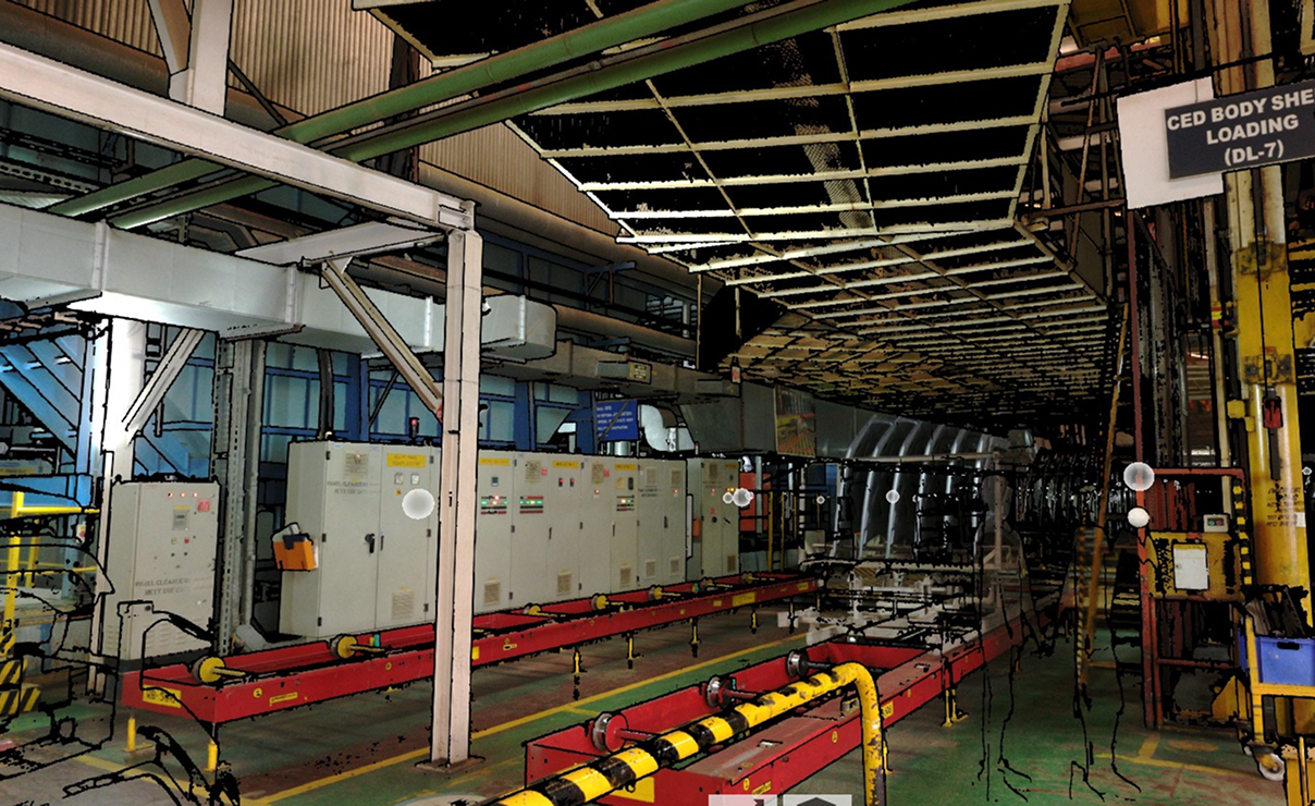
Manufacturing &
Automotive
Factory layouts, digital twins, reverse engineering support.

Infrastructure &
Bridges
Roads, bridges, railways, airports, metro projects.
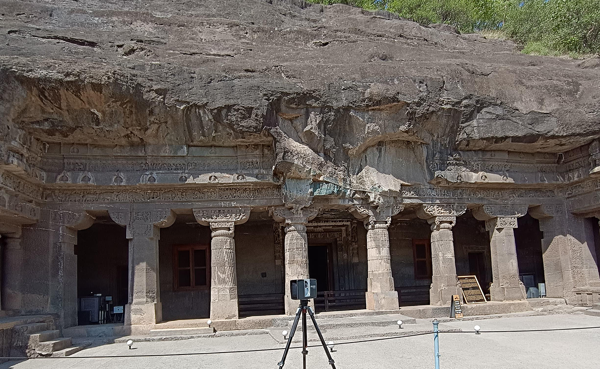
Heritage Documentation
Temples, forts, palaces, museums, cultural preservation.
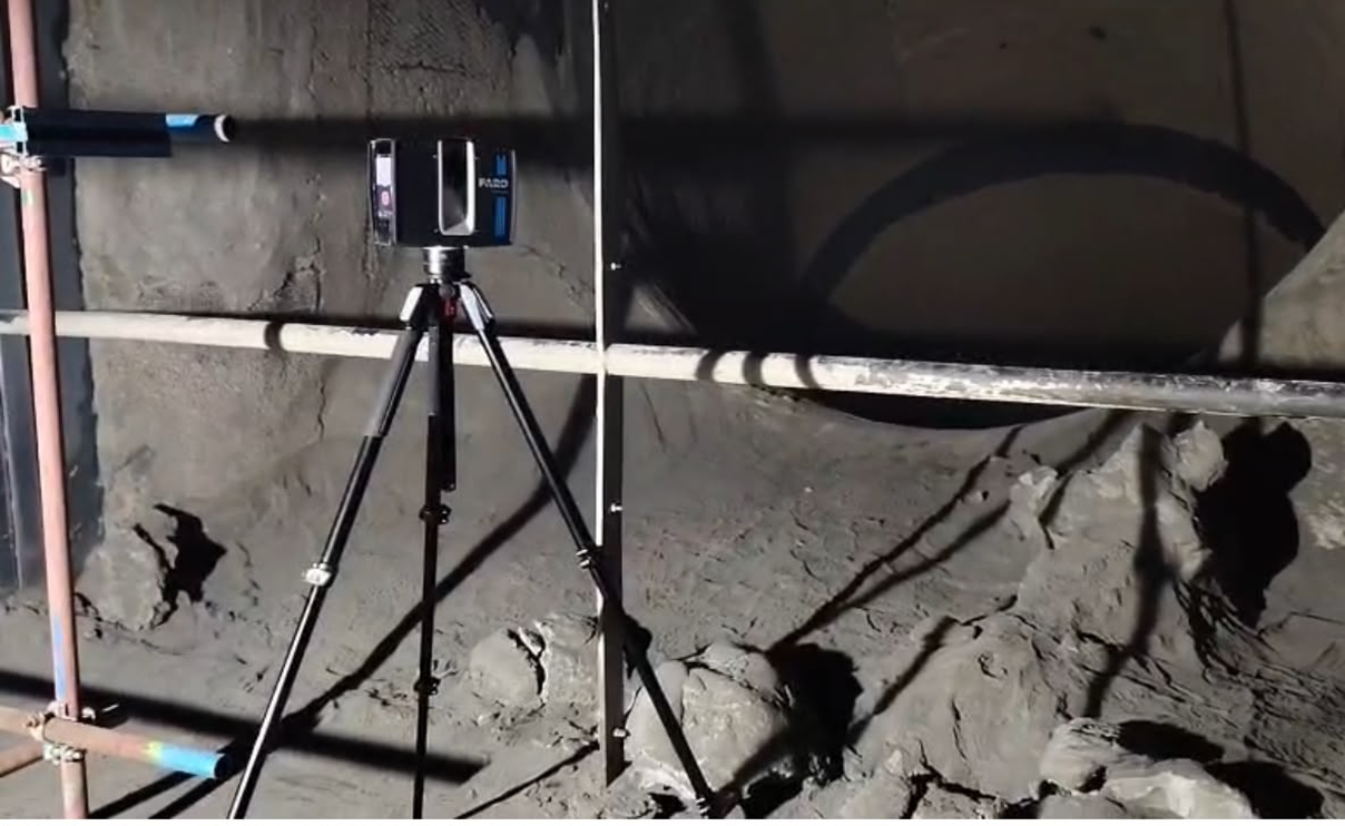
Mining & Quarry
Stockpile analysis, terrain modeling, site monitoring.

Facility Management
Building maintenance and asset management.

Architecture &
Surveying
Existing conditions, renovation planning, site analysis.
Ready to Process Your Point Cloud?
Whether you have raw LiDAR data from a single building or thousands of scans from a large industrial facility, WildPlantTS can transform your datasets into clean, accurately registered, engineering-ready point clouds for projects anywhere in the world.
Start Your Point Cloud Processing ProjectFrequently Asked Questions
1. What is a Factory Digital Twin and why is it important?
2. How does LiDAR 3D scanning help industrial plants?
3. What industries can benefit from Digital Twin technology?
4. What is the difference between 3D laser scanning and traditional measurement methods?
5. Can WildplantTS create BIM models from laser scan data?
6. How accurate is LiDAR laser scanning for industrial facilities?
7. What deliverables can I receive after a 3D laser scanning project?
8. How does a Digital Twin improve facility and asset management?
9. Can 3D laser scanning be performed while the factory is operational?
10. Why choose WildplantTS for Digital Twin and LiDAR scanning services in India?
11. What is the cost of creating a Digital Twin for a factory?
The cost of creating a Factory Digital Twin depends on several factors, including the size of the facility, the complexity of the environment, and the specific requirements of the customer. Some organizations may only require LiDAR scanning, CAD drawings, and factory layouts, while others may opt for a complete Digital Twin platform with interactive 3D visualization, asset management, and facility intelligence features.
Since every factory and project scope is unique, we recommend discussing your requirements with our team to receive a tailored solution and accurate project estimate.